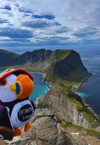
About Håen
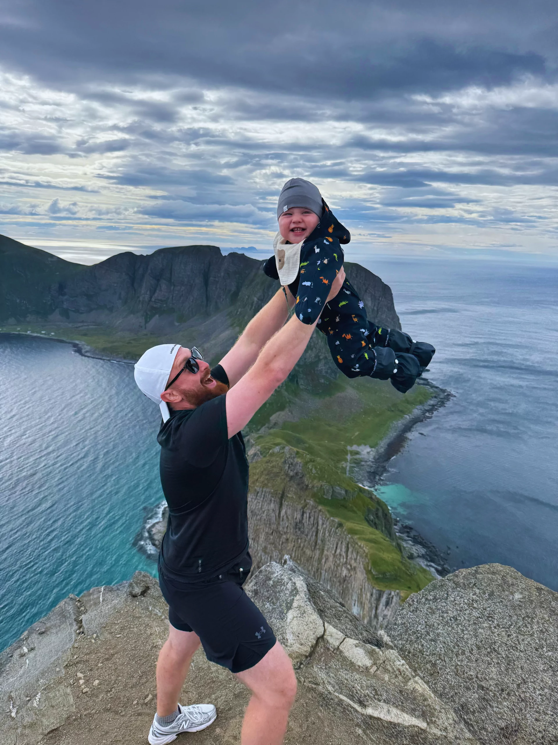
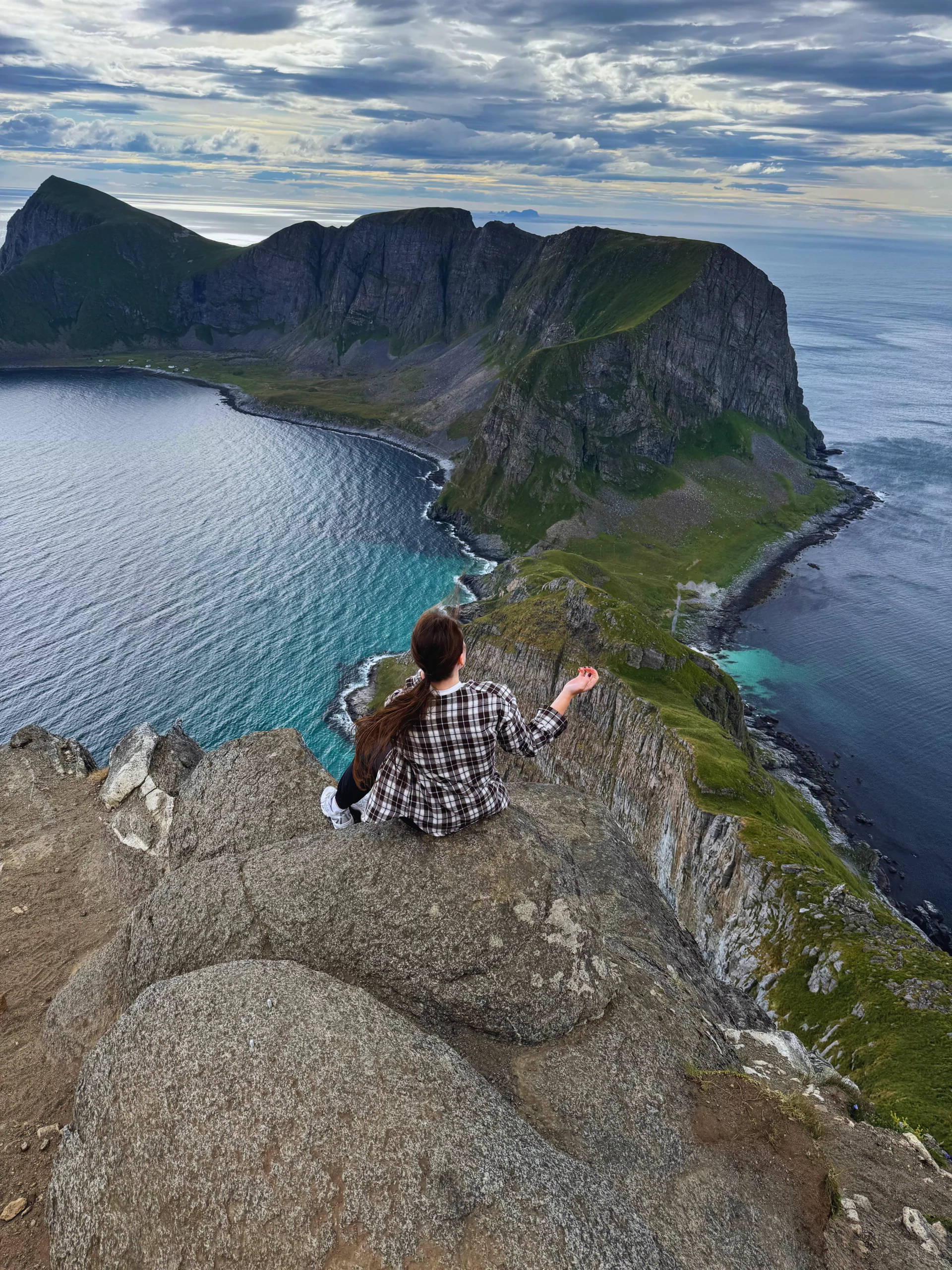
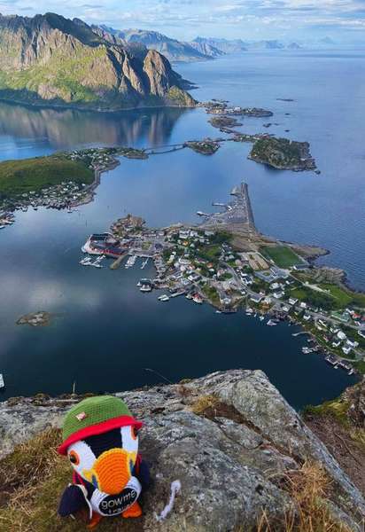
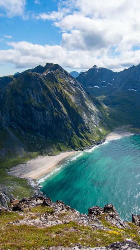
Håen (also spelled Haen, locally Håheia) is one of the highest peaks on Værøy island in the southern Lofoten archipelago, rising 438 meters straight out of the Norwegian Sea. The mountain sits at the very edge of the archipelago — beyond Værøy there is only one more inhabited island, Røst, and then 100 kilometers of open ocean before the next land. That position makes the summit of Håen one of the most exposed viewpoints in Northern Norway: on a clear day you can see the full sweep of Lofoten's outer islands to the north, the open Norwegian Sea to the south, and on rare occasions the silhouette of Røst on the horizon.
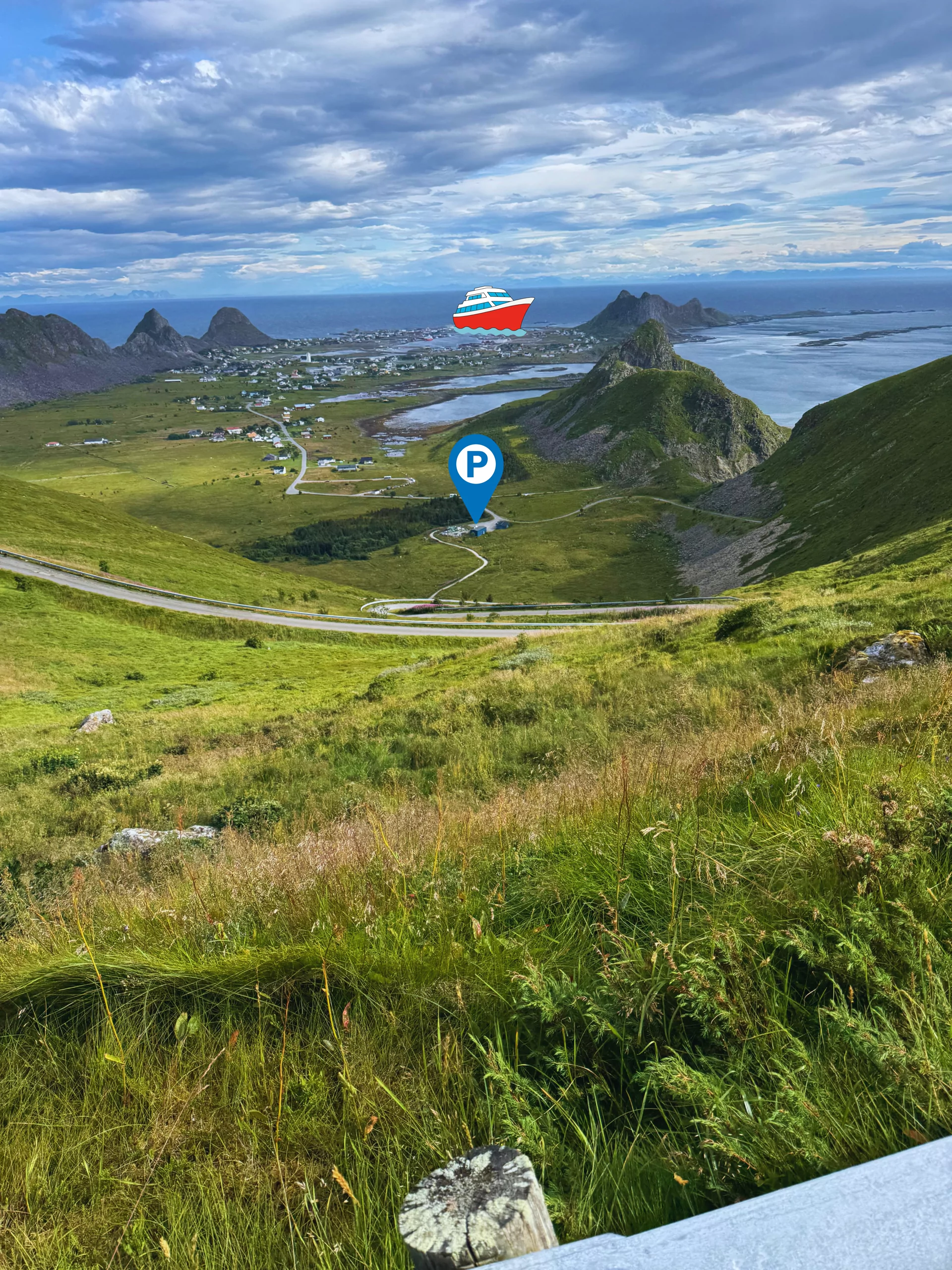
The hike is a half-day affair that punches well above its altitude. From the trailhead in Sørland (the main settlement on Værøy), the route climbs through coastal grass and over open ridge to the summit plateau. Total distance is roughly 3.4 km one way (about 7 km out-and-back), with around 400 meters of elevation gain. Most hikers complete the full out-and-back in 2 to 3 hours, though the views at the top often stretch that to four or five.
What makes Håen historically unusual is its connection to Norway's eagle-catching tradition. From the 17th to early 20th century, men from Værøy climbed these slopes to hunt sea eagles using small stone houses called ørnehus — eagle houses. A hunter would lie inside the low stone shelter holding a piece of meat, wait for an eagle to land on the roof, and grab its legs through the opening. The practice was dangerous, lucrative, and entirely local to the southern Lofoten islands. Several of these eagle-catching structures still stand on the mountain and along the ridge — small, square, partially collapsed stone boxes, easy to miss unless you know to look. They are one of the few visible reminders of a tradition that has otherwise disappeared from Norwegian life.
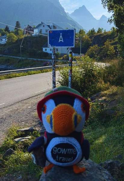
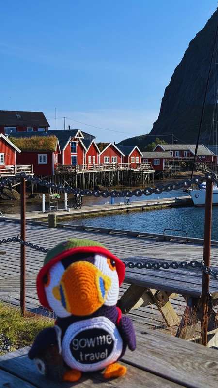
Værøy (locally Værøya, sometimes spelled Vaeroy or Varoy in English) — the island Håen rises from — is one of Lofoten's most overlooked stops. It is connected to the mainland by ferry from Bodø and a smaller link to Moskenes on the main Lofoten chain. There is no road bridge — Værøy is reached by boat, plane, or helicopter only. Roughly 700 people live here year-round, mostly along the southern coast in Sørland. The island is also famous for stockfish (tørrfisk), produced from cod hung on wooden racks every winter and exported primarily to Italy, where Værøy stockfish is considered among the finest in the world. Many of the hiking approaches on the island pass alongside these drying racks in winter and spring.
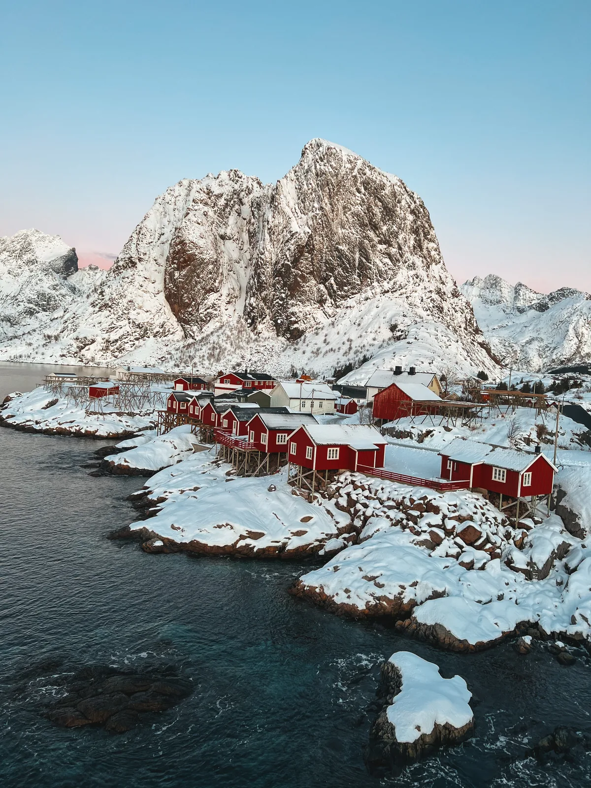
The Håen trail itself is accessible most of the year, but the conditions transform with the seasons. From late May through September the path is dry, the days are very long (the midnight sun shines on Værøy from late May to mid-July), and the summit is reliably climbable. In late autumn and winter the same route turns into a serious mountaineering objective: strong wind, snow, fog rolling in within minutes, and no rescue infrastructure on the island beyond basic search-and-rescue from the mainland. The local tourist information clearly recommends summer hiking for first-time visitors.
Climbing Håen is free. Parking by the trailhead is also free; the small public toilet a short walk before the parking is paid, around 10 NOK. From the parking the route follows the old NATO service road (Natoveien) all the way to the summit — but the very first section of that road runs through a tunnel that pedestrians are not allowed to use. The tunnel is bypassed by a steep dirt-and-stone trail going straight up over the headland; it is the only walkable way past, and it is the steepest, roughest part of the hike. Above the tunnel the route rejoins the paved road and follows an easy gradient the rest of the way to the top. The summit holds an active NATO radar station, and filming or photographing the military installation — drone footage included — is not permitted. The surrounding view (sea, ridges, neighbouring islands) is fine to photograph; just keep cameras pointed away from the radar station and the buildings.
Practical tips
Footwear: sturdy hiking shoes with non-slip soles. The dirt-and-stone bypass at the start of the route is loose under foot and very slippery on the way down — this is not a sneaker hike.
Clothing: layers and a windproof shell. The summit ridge is exposed and the wind picks up there fast. Even in July the summit is 5–8°C colder than sea level.
Water and weather: bring water — there are no streams along the trail. Check the forecast before you start; Værøy sits at the edge of the Norwegian Sea and fog can move in within 15–20 minutes even on a clear morning, so what you see at the trailhead is not what you will get on the ridge.